
Guidelines for submitting articles to Santa Rosalia Today
Hello, and thank you for choosing Santa Rosalia.Today to publicise your organisation’s info or event.
Santa Rosalia Today is a website set up by Murcia Today specifically for residents of the urbanisation in Southwest Murcia, providing news and information on what’s happening in the local area, which is the largest English-speaking expat area in the Region of Murcia.
When submitting text to be included on Santa Rosalia Today, please abide by the following guidelines so we can upload your article as swiftly as possible:
Send an email to editor@spaintodayonline.com or contact@murciatoday.com
Attach the information in a Word Document or Google Doc
Include all relevant points, including:
Who is the organisation running the event?
Where is it happening?
When?
How much does it cost?
Is it necessary to book beforehand, or can people just show up on the day?
…but try not to exceed 300 words
Also attach a photo to illustrate your article, no more than 100kb

Orientation in the Pilar de la Horadada municipality
Pilar de la Horadada, Torre de la Horadada, Campoverde
 Pilar de la Horadada lies within the Autonomous community of Valencia, Comunidad autónomo de Valencia or the Valencia region, and is a fairly small municipality in geographical terms, covering an area of only 78 square kilometers (30 square miles). It borders with the Murcia region, indeed, the Murcia-Valencia boundary runs straight through the middle of El Mojón, meaning some streets of this little urban nucleus lie in the two neighbouring municipalities.
It’s literally only a 2 minute drive to Pilar de la Horadada from the neighbouring town of San Pedro del Pinatar.
Most of the 23,000 inhabitants live either in the town of Pilar de la Horadada itself or in the beach areas of La Torre de la Horadada and Mil Palmeras. There is also a significant population in Pinar de Campoverde, a few kilometres out of the main urban areas, many of them expats.
Pilar de la Horadada
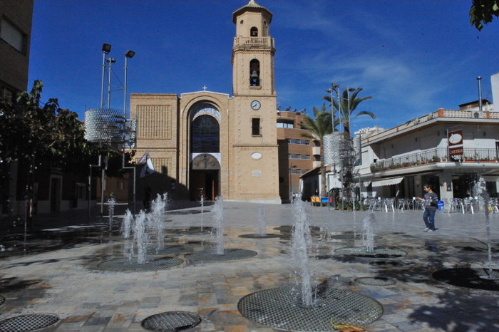 The main town of Pilar de la Horadada itself is the focal point for the major shops, supermarkets, administrative offices and main churches, the main high street running straight off the motorway roundabout, with the urban nucleus clustered around one main high street. There are a number of attractive plazas, park and garden areas and squares all running off the main high street, making navigation very straightforward, although the one way streets system can be bit of a nightmare for those visiting the town for the first time. At the far end of town is the rambla river bed running out to sea.
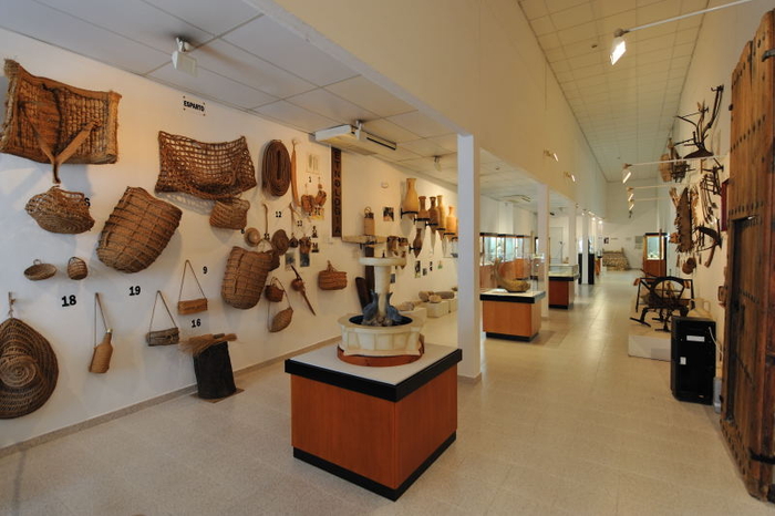 The main town of Pilar de la Horadada is a couple of kilometers from the beaches, and is separated from the coastal residential areas by very little open land, through which the Autopista del Mediterráneo runs.
The beach area of the municipality is called Torre de la Horadada and is only a five-minute drive from the centre of Pilar de la Horadada to the centre of La Torre de Horadada, although in summer it can take rather longer during busy tourist season!
Click for map, Pilar de la Horadada
Torre de la Horadada
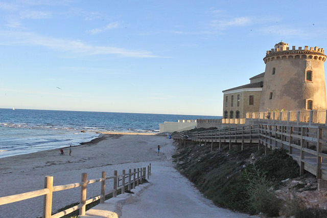 Although development at the beach started with different, separate developments, they have now all more or less joined together to form the areas of La Torre de la Horadada in the south and Mil Palmeras in the north, which are separated by the dry gully of the Río Seco. Theoretically the northern end of La Torre is called Pueblo Latino and the southern end is El Mojón, but there is no clear division between these areas.
If looking to rent for the holidays, you’ll find the central areas of Torre de la Horadada more concentrated, the streets narrower, with a real mish mash of different types of properties. These vary hugely in size, from individual villas on their own plots to small apartment blocks, all squashed in together with established gardens, trees in the streets and a generally busy feel. Parking is at a premium in the summer in these areas, which are popular with Spanish families, creating a lively, friendly atmosphere.
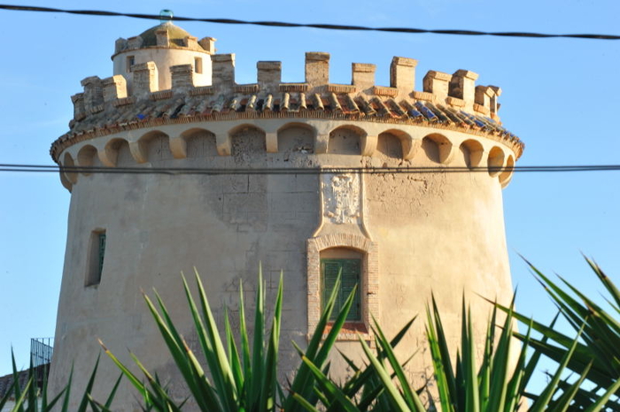
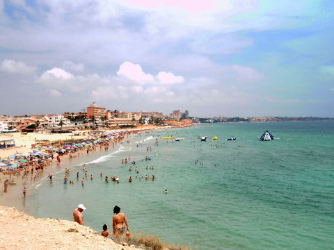 The newer developments are on either side of the Torre de la Horadada nucleus, which itself is around the old watchtower on the tip of the headland. These developments are more open, the streets wider, and the properties both newer and lower density. The beaches are more accessible for those with mobility difficulties and the beaches are much larger, with glorious soft sand and backed with dunes and garden areas.
Outside of these two main areas, the CV-925 road to Orihuela is the main axis of road travel to the rest of the municipality, and along it there are just a couple of other towns and villages.
Just two kilometers out of Pilar is the small village of Cañada de Praes, which consists of little more than a couple of blocks of residential buildings on the left of the road. On the right-hand side is a small industrial estate, where the municipal ecopark is located.
Click for detailed beaches information
Click for map, Torre de la Horadada
Lo Romero
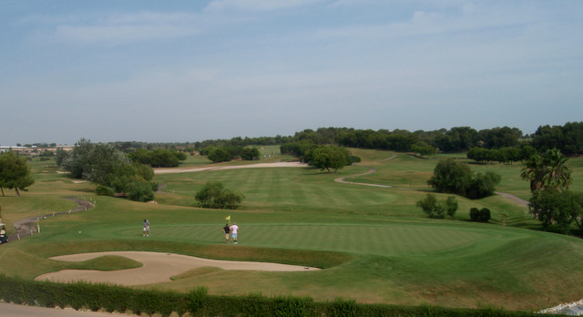 Carrying on towards Orihuela the next semi-built-up area is Lo Romero, which is projected as a golf and residential development but where few houses have been built despite very visible attempts to promote them. The excellent golf course, however, is open. Lo Romero is approximately 5km out of Orihuela and is clearly visible from the road: turn off at the roundabout which has a giant golf ball in the middle!
Campoverde
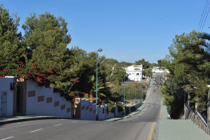 Another four kilometers along the road is Pinar de Campoverde, a large residential development which has burgeoned on a pine-covered hill over the last forty years. Although there are a fair few Spaniards in Pinar de Campoverde most of the community life is expat-based, and anyone walking into a bar, shop or estate agency will almost certainly be addressed in English rather than Spanish, although many other nationalities are very obviously represented. There are around 5,000 properties here, and enough people live in Pinar de Campoverde all year round to support the businesses on the development. The name Campoverde means green field, and the area is very pleasantly landscaped, with plenty of green trees and colourful garden planting giving the whole area a very attractive established feel. The properties have been built in a number of different phases so offer a wide range of accommodation in different styles of property
 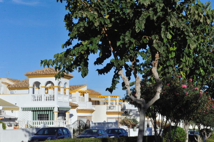 and the whole area is tidy, well maintained and homely in its ambience, a far cry from some of the regimented urban developments in other areas which give the impression of little more than a coating of white, characterless concrete.
Campoverde fringes an areas known as the Río Seco, the dry rambla or river bed, which offers enjoyable shade in the summer and is a very popular walking area.
Click for map, Pinar de Campoverde
Although the municipal boundary lies beyond Pinar de Campoverde there are no other significant centres of population before crossing into the area belonging to the Orihuela municipality.
On the N332 heading towards Orihuela is the camping park Lo Monte which offers a combination of static and temporary places.


